About
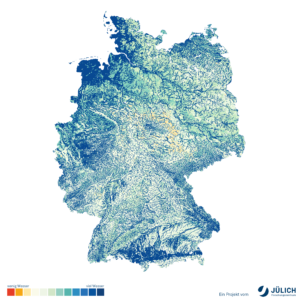
Physical Modelling means that near-real time integrated model predictions informed by in situ and remote on-line measurements, i.e. estimates of current agricultural watershed conditions will be provided in near-real time for single agricultural plots.
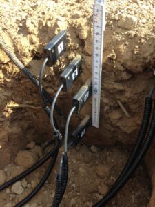
Development of integrated models, i.e., physically based 1D column models and spatially distributed 3D models represent joint simulation of overland flow, the unsaturated zone, the saturated zone, and the feedback mechanisms between these different compartments at test sites in Finland, Hungary, Switzerland and Germany. Weather data measured on-site and stored in the cloud drives the models. Actual soil and plant information as well as long term climate scenarios will be considered.
Physically based models will be continuously updated with real-time data from in-situ and remote sensors (data assimilation step):
- Medium-range weather forecasts will be used to predict hydrologic, plant, and carbon and nitrogen conditions and fluxes for the next two weeks.
- Simulated states of terrestrial systems will be corrected in near real-time to honor measured values.
- Optimal estimates of current agricultural watershed conditions (e.g., soil moisture, groundwater, and surface runoff).
The results will be visualized online in an easily accessible way. Goal of this solution is to evaluation the impact and efficiency of different soil water retention solutions using the physically based models. Long term goal is decision support for small agricultural watershed management.
Developed by
Contact
Dr. Richard Hoffmann
Prof. Dr Harrie-Jan Hendricks-Franssen
Case Study
Where We Test Our Solution
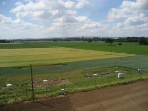
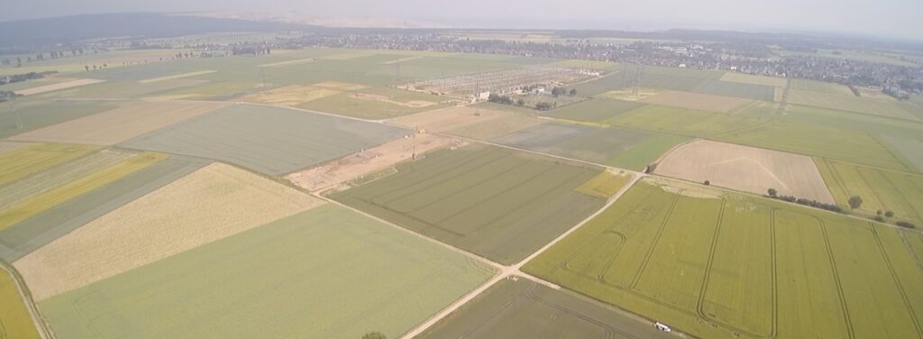
This solution is tested at Municipality of Tyrnava, Finland I, Municipality of Ruukki, Finland II, Selhausen, Germany, Seeland, Switzerland and Nyirbator, Hungary case study sites.
Universite de Neuchatel, Forschungszentrum JULICH and Agricolus work together on the cloud-interface providing the relevant data and information to stakeholders without modelling experience.


Solution Test Progress
- Municipality of Tyrnava, Finland I: Stage 1 – Data collection and model conceptualization
- Municipality of Ruukki, Finland II: Stage 1 – Data collection and model conceptualization
- Selhausen, Germany: Stage 2 – Data collected (gap-filled) and preliminary simulations
- Seeland, Switzerland: Stage 3 – Model existent, working now on Data Assimilation framework
- Nyirbator, Hungary: Stage 1 and 2 – PhD student visited FZJ for a training (April-June). Data collection and model conceptualization is ongoing. Preliminary simulations are in preparation.
Publications
- Hoffmann, R., Hendricks-Franssen, H.-J. 2022. A framework to predict and manage soil water and plant status for the next, Practice Abstract
- Boas et al. 2021. Improving the representation of cropland sites in the Community Land Model (CLM) version 5.0, Geoscientific Model Development, Article in Journal
- Dombrowski et al. 2021. Performance of the ATMOS41 All-in-One Weather Station for Weather Monitoring, Sensors, Article in Journal

Meeting with neighbor farmers of case study site.

Online webinar - Germany in the context of WATERAGRI.

Presentation of a an early-version of the simulation and data assimilation system at WATERAGRI 3rd Workshop.

